South Port provides pilotage, towage, berthage and full marine services to international and coastal vessels including the southern fishing fleet.
The Island Harbour is only accessible via South Port’s dedicated causeway which is manned 24hrs by security personnel; this provides vessels in port with a high standard of security. South Port also complies with the International Ship and Port Facility Security Code (ISPS) requirements under the Maritime Security Act.
The port offers a deep water channel entry and berthage; please take into consideration the following limitations:
Maximum draft is 10.7m at ordinary high water. Low water maximum draft is where a given vessel will maintain an Under Keel Clearance (UKC) of at least 1.5m in No. 3 Reach at LW and 10% of its Draft in the Inner Harbour. Maximum vessel length is 225m and 34m beam. Vessels of greater length may be permitted entry by arrangement; this is subject to the type of vessel.
Approaches and channel boundaries to the port are well delineated by leading lines, buoys and beacons all with appropriate day marks and lighting. The approaches are in two channels, a south channel with a minimum depth 12.5m at mean low water spring tides and a north channel with a minimum depth of 7.2m at mean low water spring tides. The entrance channel has a length of 800m and maximum width of 107m.
The Port of Bluff is a tidal port and major shipping movements occur at slack water. Tidal flow in the entrance channel varies from 2.0 to 2.6m/sec (4-5 knots) with ordinary tides and peaks at 3.6m/sec (7 knots) on high spring tides. Click the below link to view South Port’s complimentary tide timetable for 2024 and 2025.
South Port Tide Timetable 2025
South Port supports the New Zealand Port and Harbour Marine Safety Code, this code provides national best practice guidance to port operators to manage the safety of marine activities in their ports and harbours.
Check the following tables to find out what ships are currently in port and due to arrive in the coming days.
The MNZ Landing page provides information for visiting ships before they arrive in New Zealand www.maritimenz.govt.nz/masters
| arr date | arr time | ship's name | berth | cargo/pax | agent | departing | time etd | Comments |
|---|
| arr date | arr time | ship's name | berth | Cargo | agent | departing | time etd | Comments |
|---|
| arr date | arr time | ship's name | berth | pax | agent | departing | time etd | Comments |
|---|
| arr date | arr time | ship's name | berth | cargo/pax | agent | departing | time etd | Comments |
|---|
Please refer to the compass image below to convert degress into North/South/East/West etc.
Please refer to the compass image below to convert degress into North/South/East/West etc.
Please refer to the compass image below to convert degress into North/South/East/West etc.
Tide Level:
loading...
To ensure the safety of vessels and personnel, South Port has a number of guidelines for entry and exit of the port, which vary according to the vessel length, weight, and draft.
Pilotage is compulsory for all vessels over 500 gross registered tonnes and/or 40m length overall.
Pilotage Areas and Limits (as at 16 October 2020)
Pilots will board inward vessels 1.5-2 nautical miles south of Bluff Entrance Light, 30 minutes before High Water (HW) Slack, and 45 minutes before Low Water (LW) Slack. Outward vessels depart up to one hour before High Water Slack and on, or immediately after, Low Water Slack.
Vessels will be handled on the first available tide, weather permitting, day or night. Vessels over 200m in length overall will be restricted by wind and tidal conditions. Please contact the Marine Administrator for further information.
Application for the services of a pilot, linesman, or tugs must be made at least six hours before the time required.
Vessels and/or shipping agents shall inform the Duty Marine Co-Ordinator by email of confirmed ETA/ETD date and time.
On arrival at Pilot Station vessel master's shall contact “Bluff Harbour Radio” on VHF channel 14.
DUTY MARINE CO-ORDINATOR CONTACT FOR CANCELLATIONS OR REVISED ETA/ETD:
Duty phone line: +64 27 230 8607
Email: marine@southport.co.nz
Non-confirmation after 6 hours could result in a cancellation fee if the vessel arrives or requires to depart late.
Arriving vessels, or their agent, should advise the Port Company 48 hours prior to the arrival of ETA, arrival draft, and any dangerous cargo on board, whether for discharge at this port or not. Vessels arriving at a weekend or public holiday should ensure that the arrival information reaches the Port Company before 1530 hours on the last working day prior to the weekend or holiday.
Pilots are available for the Stewart Island pilotage district.
There is also a cruise ship piloting service for Fiordland provided by South Port. Please contact the Marine Administrator for further details.
Vessels up to 100m: Arrival and departure can be made at any stage of the tide, dependent upon draft, weather, and ship-handling capabilities.
Vessels over 100m: Pilot times for entry and exit are as follows:
Maximum draft for low and high tides is as follows:
Vessels over 200m: Large vessels will be evaluated by the Duty Pilot at the time. Pilot times and draft restrictions are the same as for 180m-200m vessels.
Shifting within the port: The majority of vessels can be moved at any stage of the tide, dependent upon weather conditions. Maximum draft at LW is 9.0m; during the LW-HW and HW-LW periods, the maximum draft is adjusted accordingly to the height of the tide.
Tankers: Tankers will be restricted to slack water shifts only to/from Tiwai Wharf.
Weather conditions: South Port pilots have stipulated guidelines for maximum wind strengths for various types of vessels, both day and night.
The passage plans and waypoints in and out for all berths can be downloaded as zip files below.
Shift from Berth No 11 to Tiwai

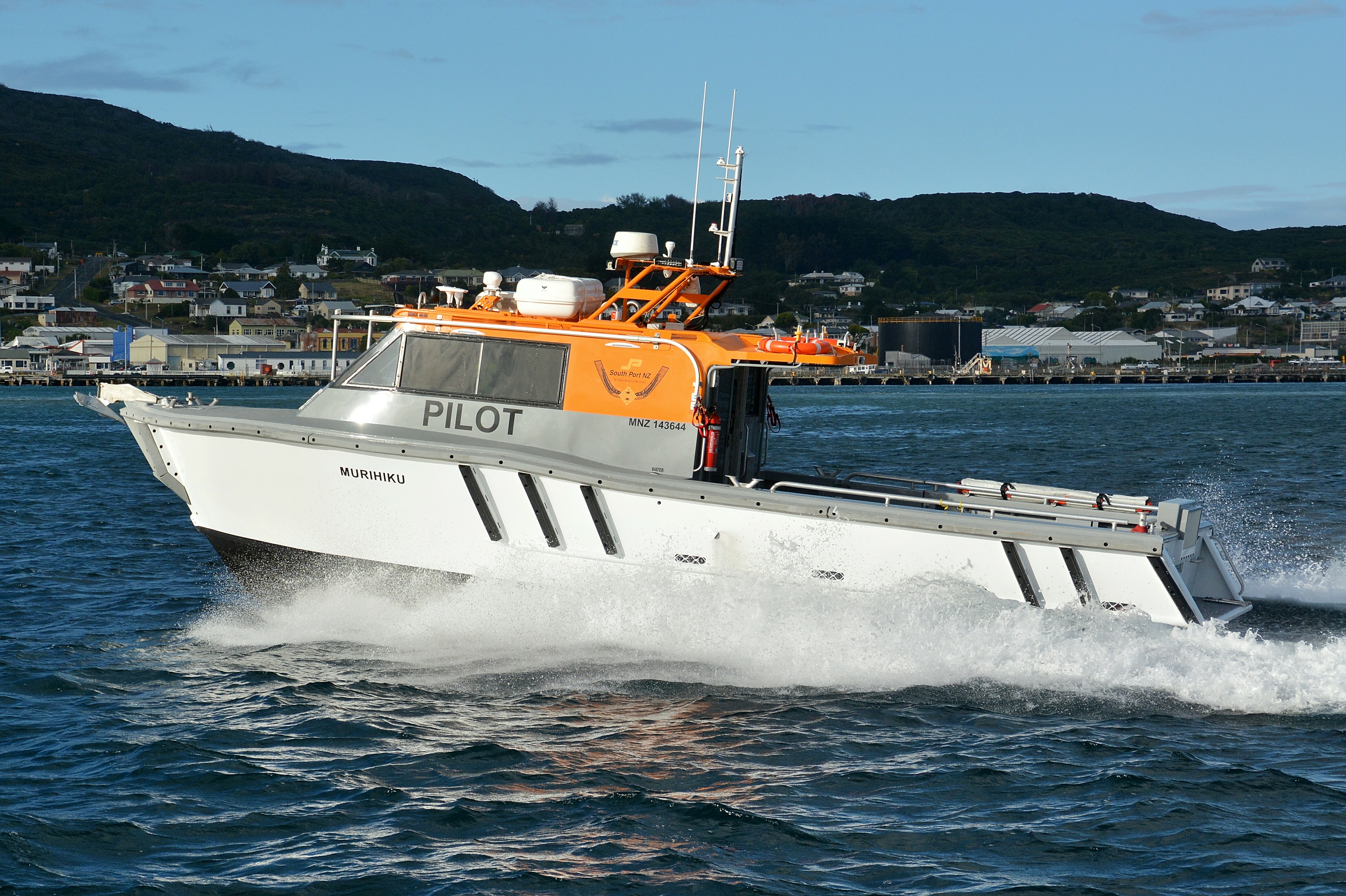

11.6m
3.93m
0.8m
Aluminium vessel with orange wheelhouse. “Pilot” on side of wheelhouse
2x Yanmar 8LV370Z. 370 hp each
25 knots - Max 30 knots
Twin stern drives
Foveaux Strait
Up to 16 crew and passengers
Lowrance electronics; Chart Plotter, Radar, Sounder, Class B AIS 2x fixed VHF units Callsign ‘Bluff Pilot’ on VHF Ch 16 /14 CCTV
1600 litres Diesel fuel
150L fresh water

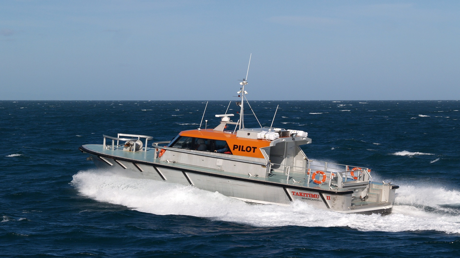

16.5m
5.1m
1.6m
Aluminium vessel with orange wheelhouse. “Pilot” on side of wheelhouse
2x MTU Detroit Diesel 60 series. 600 hp each
22 knots - Max 25 knots
Shaft and propeller driven
Foveaux Strait
Up to 16 crew and passengers
Raymarine electronics; Quantum Doppler radar, 3D sounder, Class B AIS 2x fixed VHF units Callsign ‘Bluff Pilot’ on VHF Ch 16 /14 Infrared camera
3000 litres Diesel fuel
1000L fresh water

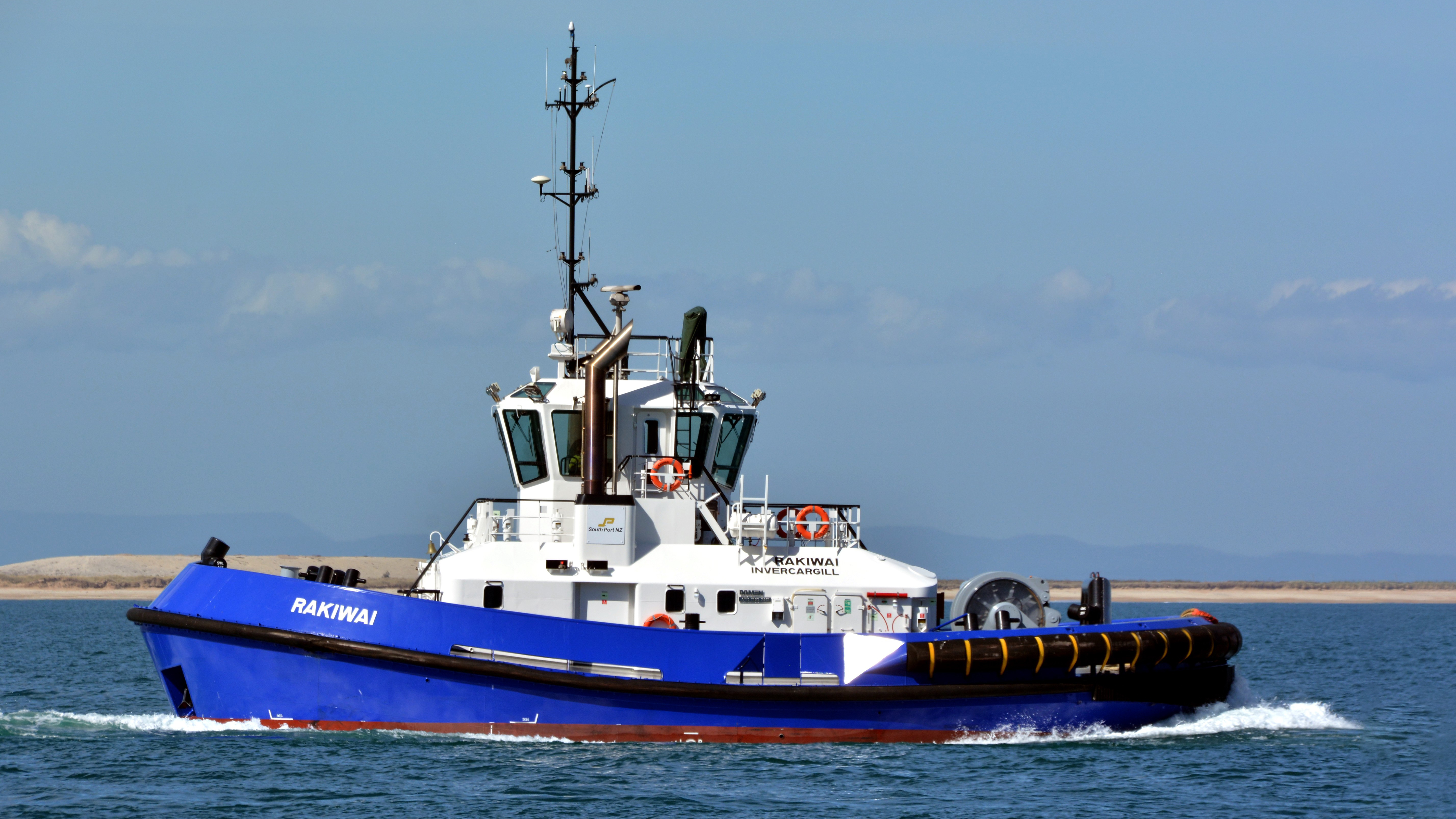

Two Voith tractor tugs and one Azimuth tug are available for harbour towage. For normal towage, the tugs use their own tow lines.

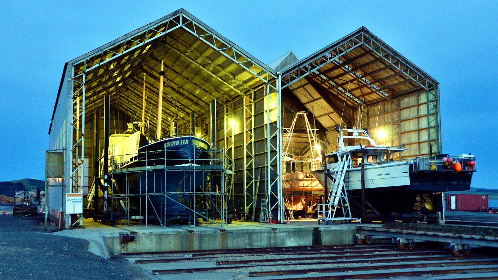

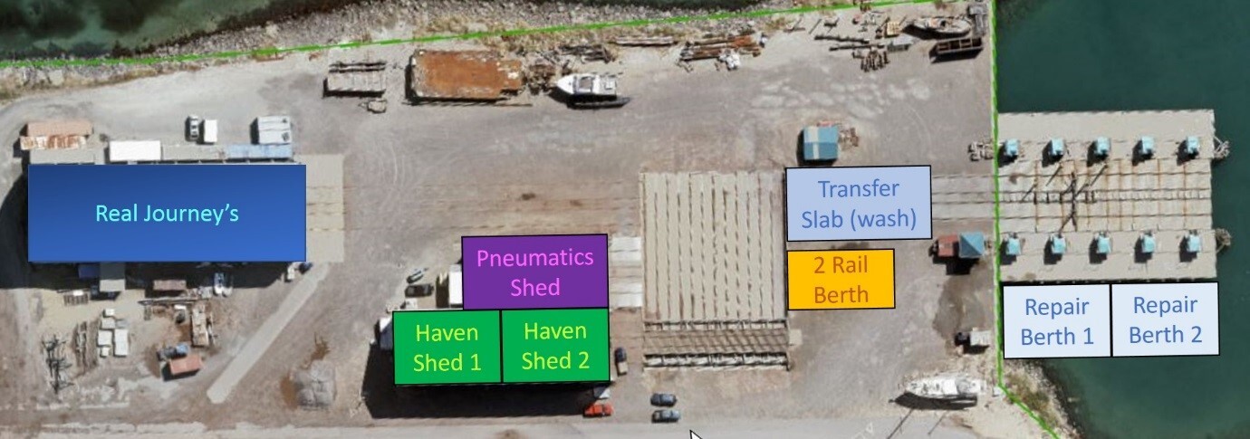
South Port has a Syncrolift situated on the Island Harbour.
The main dimensions of its lifting platform are:
40.26m
13.4m
6.0m
1050 tonnes
Dry dock sheds are available for repairs, blasting and painting.

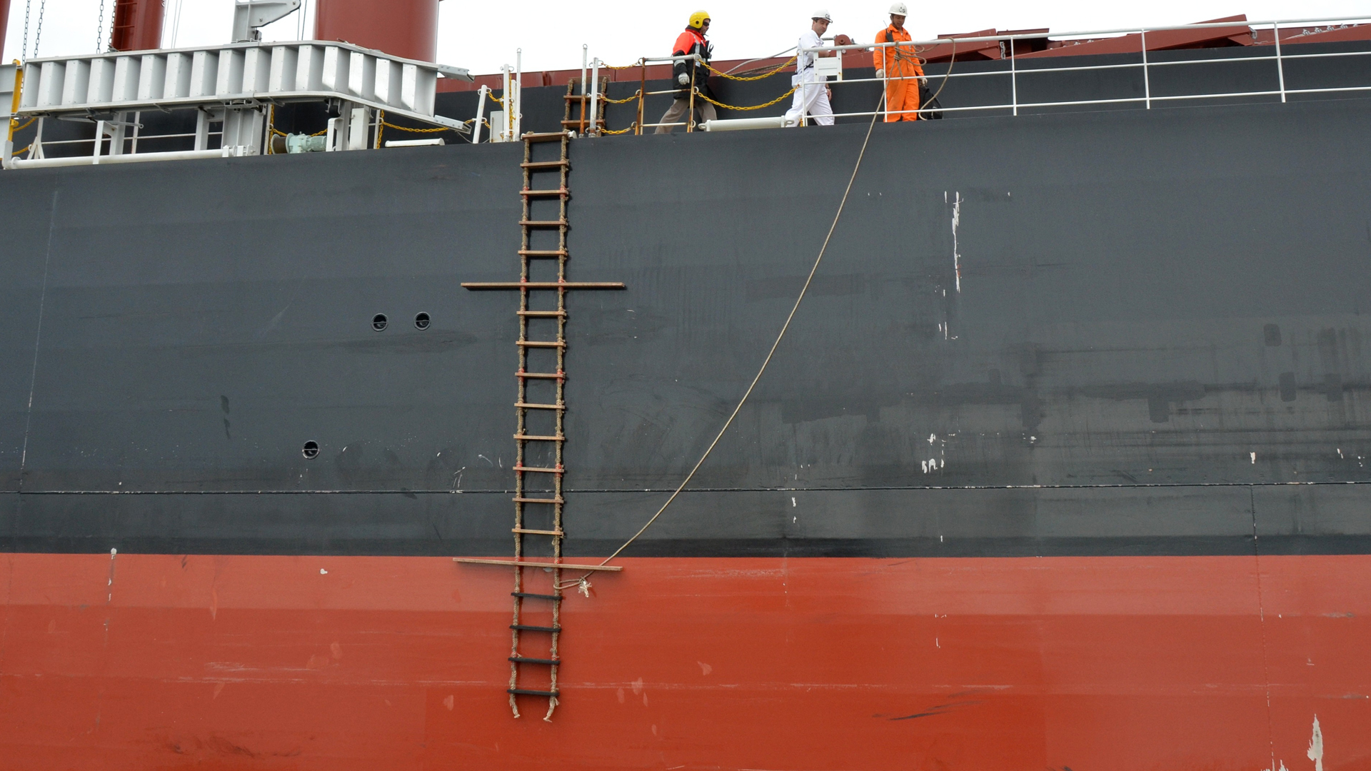

Pilots embark on pilot ladders in accordance with the New Zealand Pilot Ladder Regulations. (Accomodation ladders will not be used).
The foot of the ladder should be no lower than 2 metres from the water. A boat rope is not required. The ladder is to be rigged on the side of the vessel as advised by the pilot prior to boarding, and the vessel must be making its way through the water at a maximum of 8 knots, not stopped or at anchor.

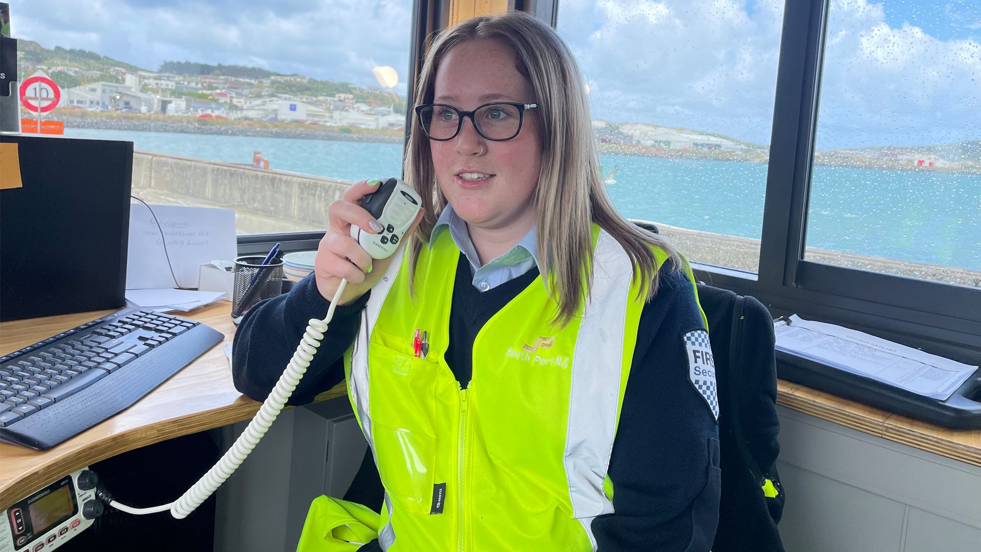

The VHF radio call sign is “Bluff Harbour Radio” calling Channel 16. There is a continuous listening watch on Channels 14 and 16.

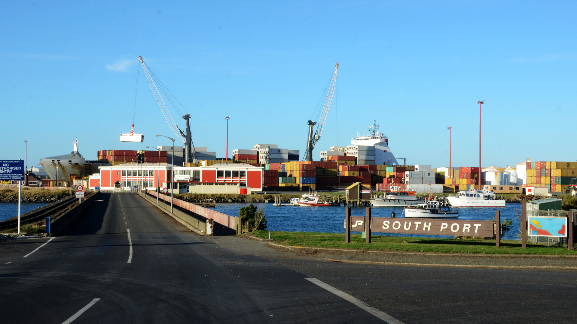

Rail and road access is provided.
Island Harbour Berth 4 has rail access. There is no rail at Tiwai Wharf or Town Wharf.
Road access is available to all berths except where danger exists (e.g. petroleum discharge, dangerous cargoes etc.)
Access to all berths is for authorised personnel only and 24-hour security is maintained from the watch house.

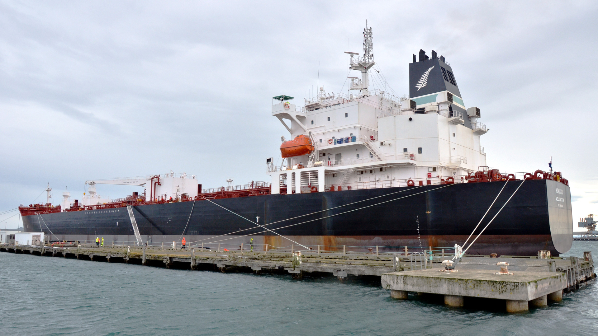

Tankers discharge at Berth 11, located on the Town Wharf. Midship connections only are used.
Heavy fuel oil for New Zealand Aluminium Smelter’s discharge point is on Tiwai Wharf using midship connection.
Tallow and other bulk liquids discharge at Berth 3 & 3A via Island Harbour installation.

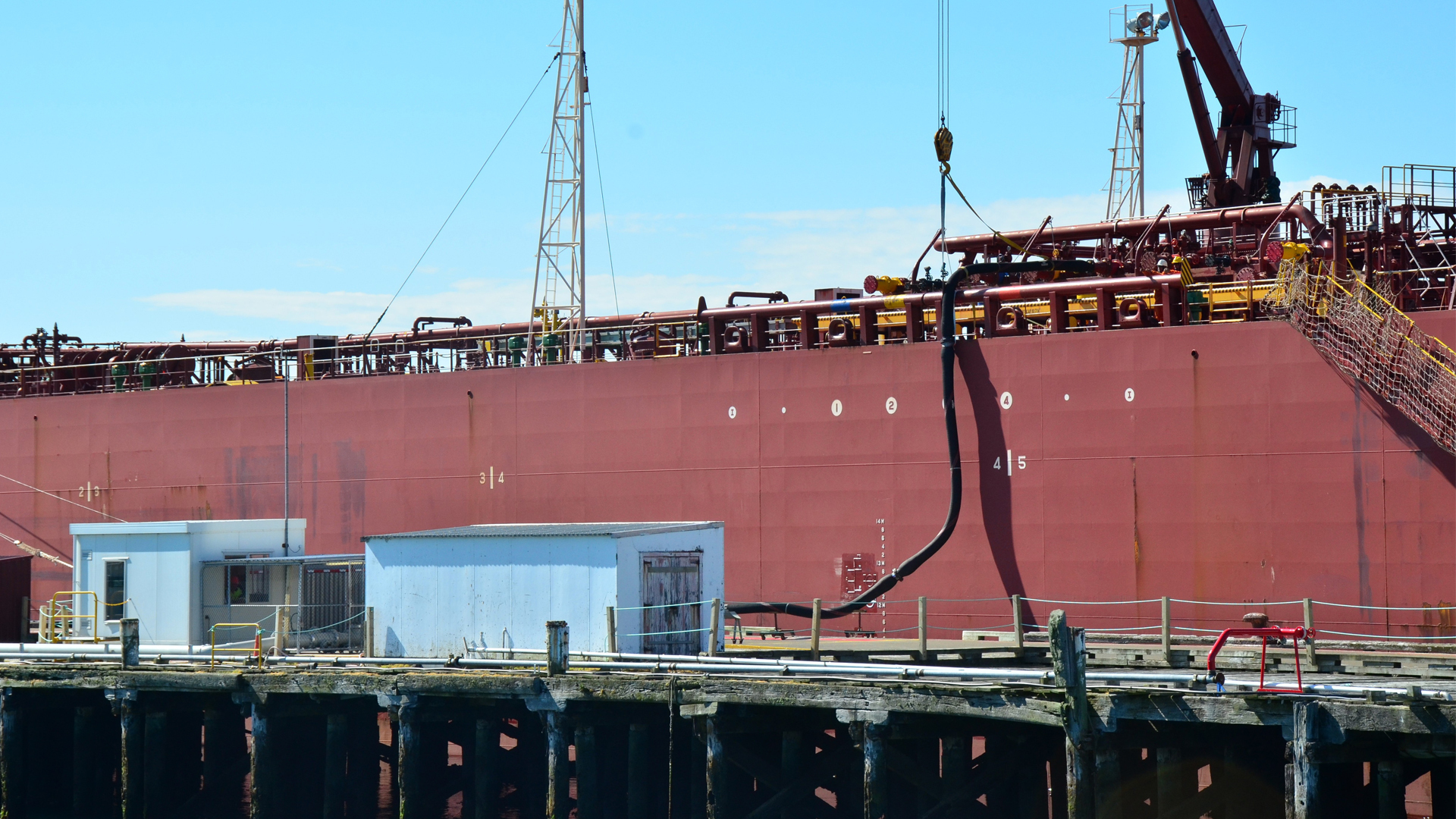

Road bunkering is available at the Island Harbour berths only. Vessels wishing to bunker or transfer oil must obtain permission from Environment Southland before commencing the operation. Notify via Bluff Harbour Radio VHF 14.
Notification is required to carry out fuel transfer or removal from vessels.

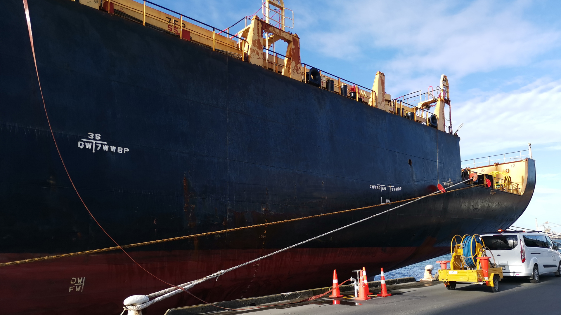

Fresh water is available on all berths. Hoses are available from South Port Marine Services: marine@southport.co.nz


Waste containers are supplied for galley waste only. This is collected daily, weighed and charged to the vessel. Please contact the local agent regarding the per kilo charge. Disposal of other waste, e.g. bottles, cans or engine room waste is the vessel’s responsibility.

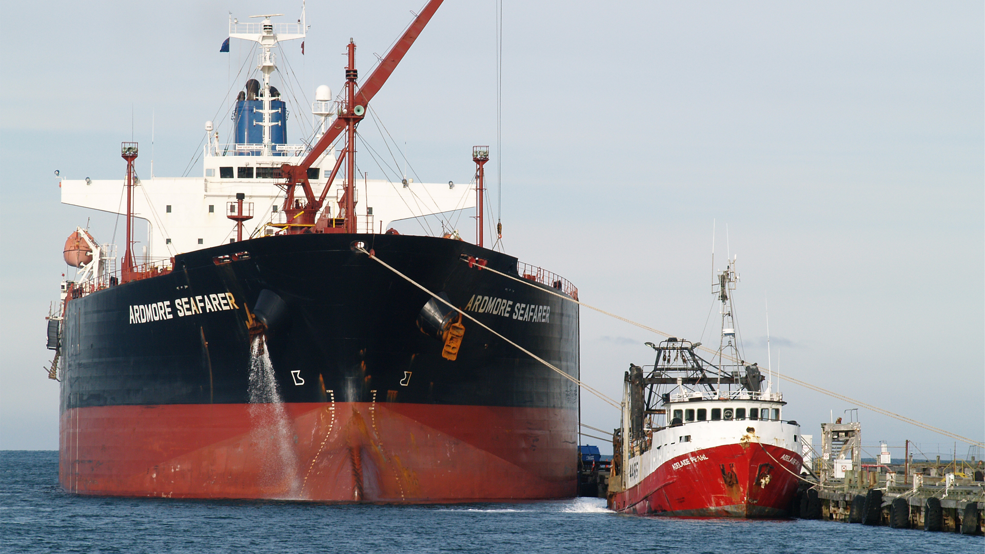

Vessels are to use their own moorings throughout the port, all wharves being free of surge.

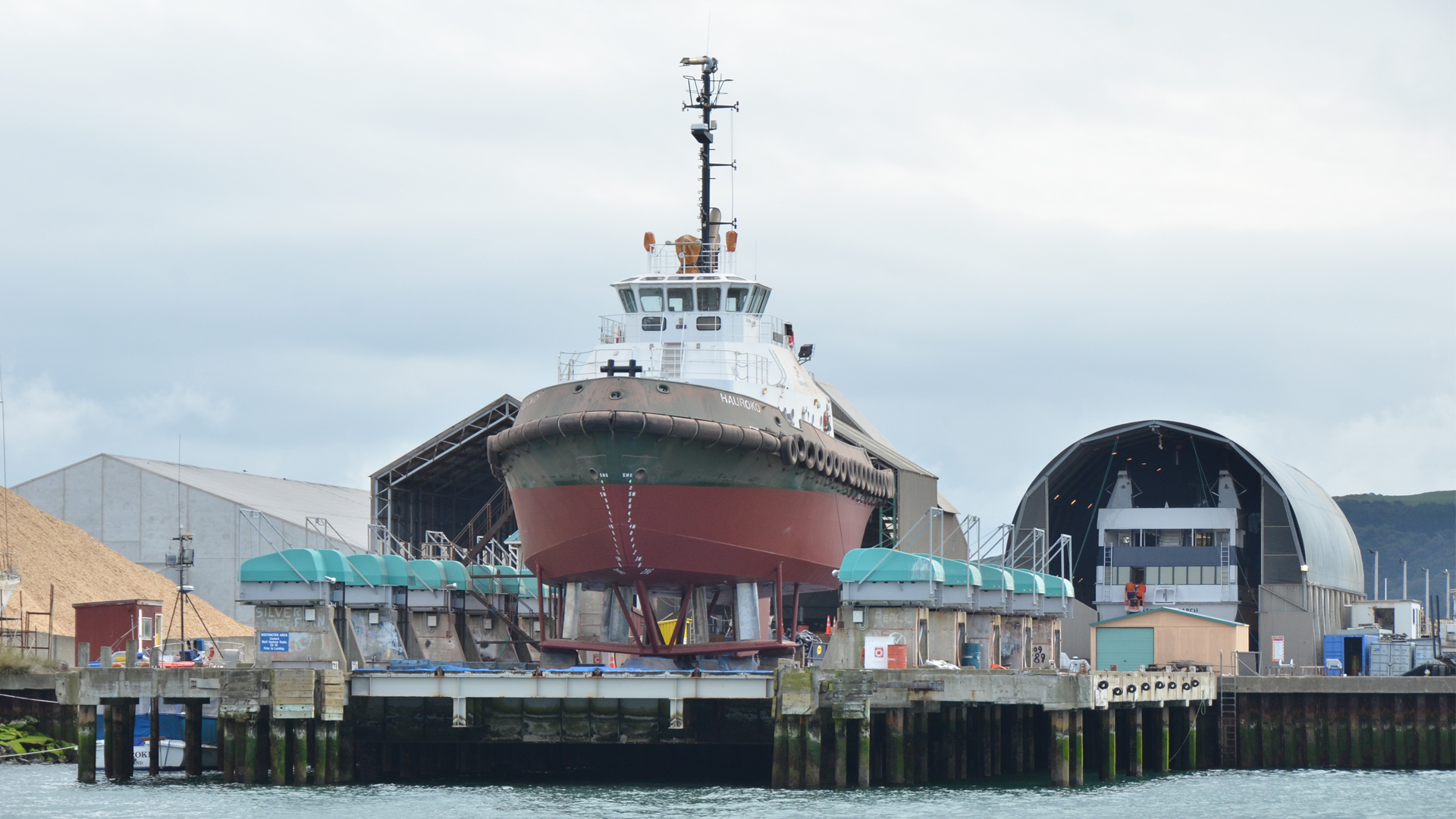

Repairs and survey work on main engines is permitted after approval from South Port. Shore engineering services are available. Representatives to the major classification societies are also available for survey examinations. Request for Immobilisation form to be sent through to pilots@southport.co.nz
The schedule of vessels provisionally booked for the syncrolift is not currently available. To enable effective communication booking information is to be requested through the dedicated email: syncrolift@southport.co.nz
If you have not received an email confirmation of your booking it is not confirmed
If you need to carry out hot work (welding or flame-cutting) on board a ship in the Bluff port or commercial areas you must submit a hot work notification prior to commencing.
Complete a hot work notification online
In addition to your hot work permit application form, as a minimum the following checks must be completed: